Mynd:Slovenia Regions.png

Stærð þessarar forskoðunar: 800 × 487 mynddílar Aðrar upplausnir: 320 × 195 mynddílar | 640 × 390 mynddílar | 1.025 × 624 mynddílar.
Upphafleg skrá (1.025 × 624 mynddílar, skráarstærð: 20 KB, MIME-gerð: image/png)
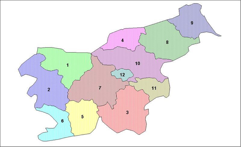
Lýsing
| Lýsing | Map of the regions of Slovenia (statistical purposes only). |
| Dagsetning | |
| Uppruni | |
| Höfundarréttarhafi | Created by Rarelibra. Created using MapInfo Professional v7.5 and various mapping resources. THANK YOU to Edolen1 for his updated information! |
Leyfisupplýsingar:
| This work has been released into the public domain by its author, Rarelibra. This applies worldwide. In some countries this may not be legally possible; if so: |
Breytingaskrá skjals
Smelltu á dagsetningu eða tímasetningu til að sjá hvernig hún leit þá út.
| Dagsetning/Tími | Smámynd | Víddir | Notandi | Athugasemd | |
|---|---|---|---|---|---|
| núverandi | 2. júní 2006 kl. 06:04 | | 1.025 × 624 (20 KB) | Andrejj | == Summary == Map of the regions of Slovenia (statistical purposes only). Created by Rarelibra for public domain use. Created using MapInfo Professional v7.5 and various mapping resources. THANK YOU to User:Edolen1 for his updated i |
Skráartenglar
Eftirfarandi síða notar þessa skrá:
Altæk notkun skráar
Eftirfarandi wikar nota einnig þessa skrá:
- Notkun á bg.wiki.x.io
- Notkun á en.wiki.x.io
- Notkun á eo.wiki.x.io
- Notkun á es.wiki.x.io
- Notkun á eu.wiki.x.io
- Notkun á gl.wiki.x.io
- Notkun á hr.wiki.x.io
- Notkun á hu.wiki.x.io
- Notkun á lt.wiki.x.io
- Notkun á pt.wiki.x.io
- Notkun á ro.wiki.x.io
- Notkun á sh.wiki.x.io
- Notkun á sk.wiki.x.io
- Notkun á tr.wiki.x.io
- Notkun á uk.wiki.x.io